BLOGS
Batangas Flood And Landslide Susceptibility Map
Emergency situations and disasters are basic representations of everyday life. They are effects of how nations and and it’s government interact, how relationships between decision-makers are maintained, and how society is structured economically and socially. Disasters have significant financial and human costs. They might be food shortages, severe injuries, and numerous fatalities. The steps that need be taken before a disaster strikes in order to limit its impacts can be determined by knowing the hazard map, specifically of Batangas Province, Philippines, in this article.
What is a flood hazard map and a landslide susceptibility map?
The concept of “Flood Hazard Map” or “Flood Map Philippines” refers to a map that visually conveys information on flooding (predicted flooding areas, flooding depth, etc.) and evacuation (location of evacuation refuges, evacuation routes, dangerous spots on evacuation routes, etc.) in a way that is easily understood. The objective is to quickly and securely evacuate nearby inhabitants in the case of flooding. The local municipalities’ separate departments in charge of rivers and hydrology and disaster prevention work together to create and distribute the map.
A map of landslide susceptibility categorizes areas into low, moderate, and high susceptibility level. The landslide susceptibility map considers where landslides happen as well as their causes (slope, soil type, and the effect of local water flow).
The Provincial Hazard Map of Batangas: Flood Map Philippines
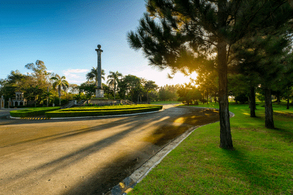
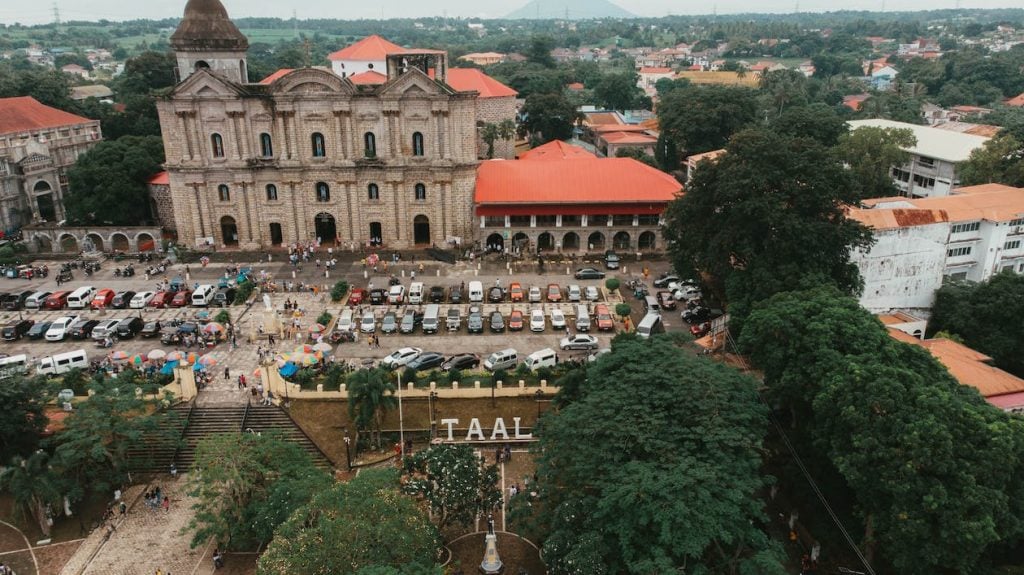
Officially known as the Province of Batangas, Batangas is a province in the Philippines, situated on the island of Luzon in the Calabarzon region. Its capital is the city of Batangas, and the provinces of Cavite and Laguna are on its northern and eastern borders, respectively. It is among the most well-liked tourist attractions close to Metro Manila. It is the cityof the well-known Taal Volcano, one of the Decade Volcanoes, and many beaches and diving locations.
Floods, typhoons, urban fires, oil and chemical spills, maritime disasters, lightning, and landslides are the most frequent risks in Batangas City. Due to its topography, which includes hilly, coastal, and island barangays, it is susceptible to risks. Future dangers may also be influenced by the city’s brisk industrial and urbanization growth.
The map below depicts the city’s susceptibility to flooding and landslides. According to the University of the Philippines-Los Baños study, hillslope areas, largely found in the southern half of the city, are the most susceptible to landslides. Tension cracks in the buildings and road systems of Barangay Conde Labak provide as evidence for this.
The Santa Rita Aplaya, Santa Clara, Cuta, Wawa, and Libjo low-lying barangays are particularly at risk for floods and storm surge damage. Inland flooding and coastal flooding are the two types of floods that are seen in the city. Sirang Lupa, Libjo, Pallocan, and Tinga barangays were examined for inland flooding while Cuta and Wawa barangays were evaluated for coastal flooding.
In the Philippine province of Batangas, Santo Tomas—officially known as the City of Santo Tomas—is a first-class component city, that is now a component of the conurbation that stretches all the way down to Lipa. In addition to Lipa, it shares boundaries with the cities of Calamba, Los Baños, Alaminos, Tanauan, and Malvar in the west and Tanauan and Malvar in the east.
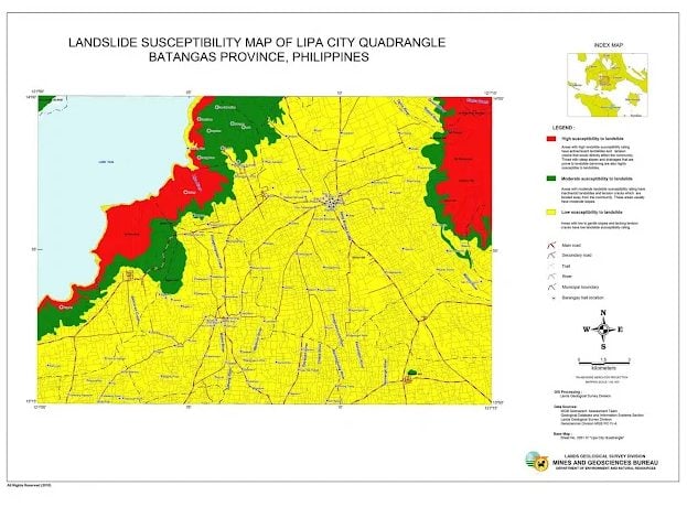
Because of this conurbation, the city of Santo Tomas has become an ideal area for people to settle and make it a home. Below is the Lipa City Susceptibility Map, a city near Santo Tomas, that can be used to prove the Santo Tomas is a safe and less hazardous area to make a home.
How do I find my flood zone in the Philippines: Flood Map Philippines?
The Philippines is one of the nations in the globe that is vulnerable to a variety of meteorological events, including typhoons. The Philippines’ geographic location, which frequently results in torrential rains and widespread flooding as well as strong winds that severely injure people and destroy crops and property, is the main cause of this.
The Philippines is listed as having the eighth-highest number of citizens exposed to serious flood hazards in the World Bank’s Policy Research Working Paper No. 9447, People in Harm’s Way: Flood Exposure and Poverty in 189 Countries. Around 29 million people, or 27.7% of the total population of the nation, were at risk of flooding in just 2020. Because of this, it’s critical that everyone is informed of the various flood-prone regions in the Philippines.
The Philippine Atmospheric, Geophysical and Astronomical Services Administration (PAGASA) is the country’s first agency and is responsible for issuing typhoon and flood warnings, public weather forecasts and advisories, as well as other specialized information and services in the fields of meteorology, astronomy, and climatology. By virtue of Presidential Decree No. 78 restructuring the Philippine Weather Bureau into PAGASA, the government organization was established on December 8, 1972.
Through its Flood Information section on its official website, PAGASA delivers the accurate and real-time flood situation to 18 major river basins in the nation and Metro Manila Flood Monitoring.
In addition to the aforementioned, the PAGASA has created flood forecast and warning systems to inform the people of the impending catastrophe. PAGASA periodically issues a warning at specific times of the day during the flooding period, especially during times of excessive precipitation, until the flood subsides or until all hazards and dangers associated with flooding have disappeared. The operational environment in which flood forecasting and warning operations are conducted is determined by the hydrometeorological conditions that are currently present in a specific river basin, classified conveniently into:
- Normal Circumstance
- Warning Phase
- Warning Period
Flood-free and low landslide risk location for your dream home: Flood Map Philippines
Thanks to the information from the government, finding and building your dream destination or home in a flood-free and low landslide risk location is possible!
As mentioned before, the city of Santo Tomas Batangas is one of the ideal location to settle because of its conurbation with the Metro Manila. It is also a home to a constituent branch of the Polytechnic University of the Philippines, 4 public high schools, 28 public elementary schools, and 18 private schools.
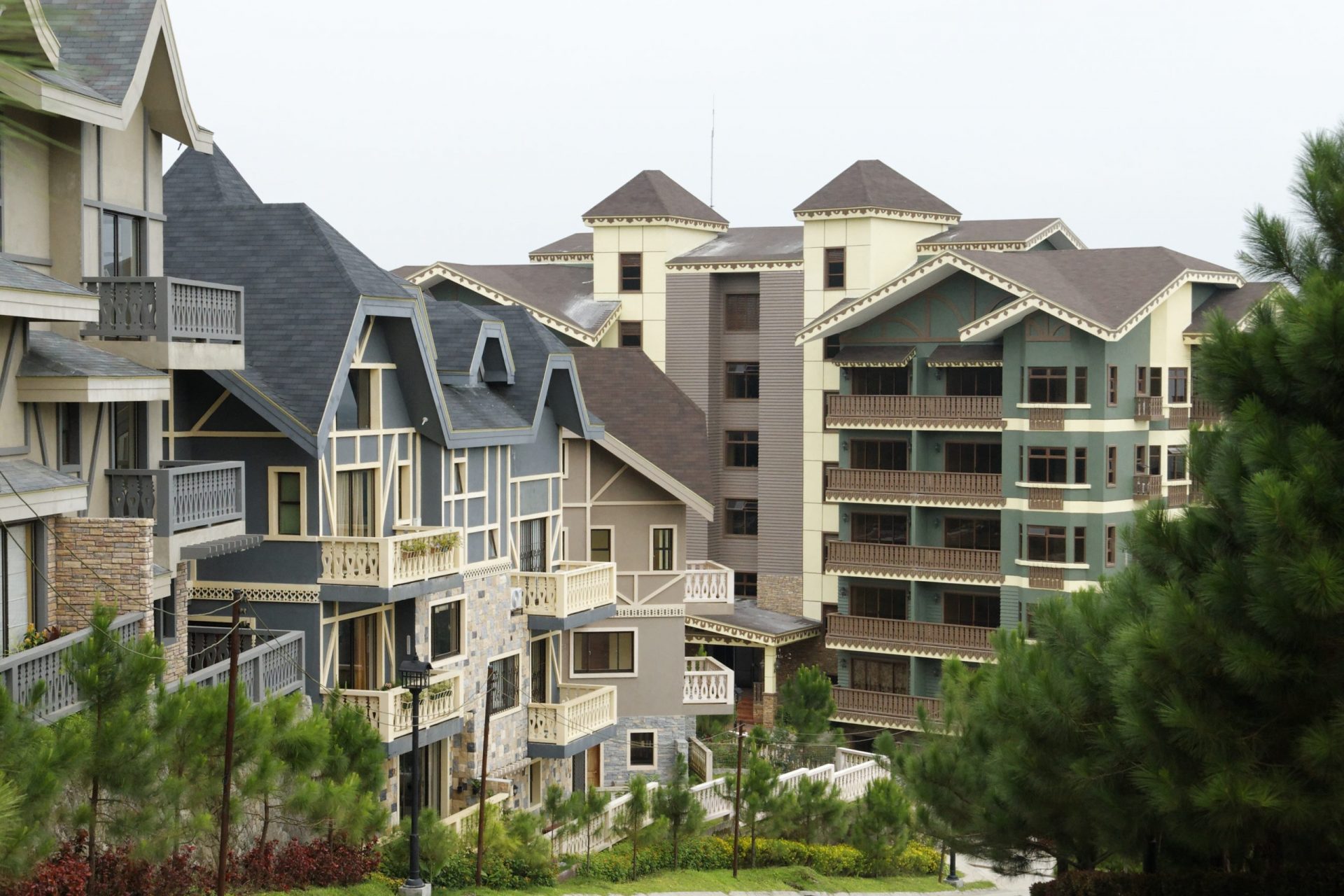
Luckily Brittany Philippines offers a luxury leisure development in this city. The Pievana, that is set to create a community nurtured by nature and curate life beyond wellness. This property is soon to be launch in the public.
Conclusion
The maps, data, and all the information mentioned above are all available in the public, which means it is meant to be known to the public for safety purposes. Because of these data specifically created to certain areas of the country such as Batangas Province, finding, planning and building a home or a dream leisure destination will be flood-free and low landslide risk, thus making your family and friends safe. Also these information will help you as a homeowner to renovate or remodel your own house to minimize the impact of these disasters in the future.
For more information, related blogs and articles, you may follow Brittany Philippines on Facebook, Titter and LinkedIn.
Suggested Read: 7 Reasons Why You Should Invest In A Vacation Home In Tagaytay
Suggested Read: Top Luxury Residential Developments In The Philippines
Suggested Read: The Most Popular Locations For Luxury Real Estate
Suggested Read: Benefits Of Living Near Trees